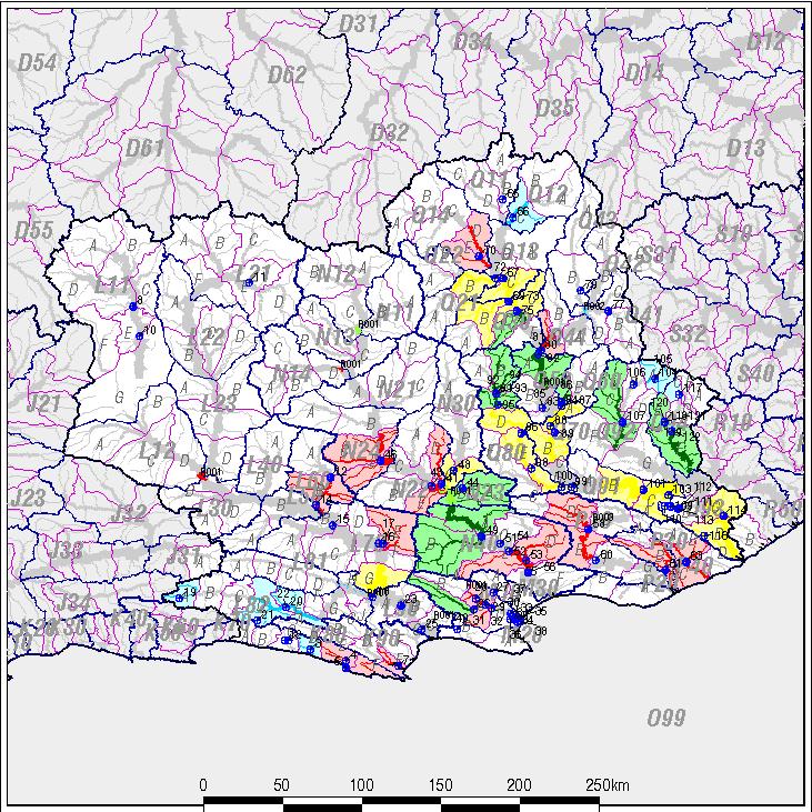
Fish to Tsitsikamma WMA chemical classification map created on 2006-12-18 - 16:34:36
Classified using 90th percentile and at least 5 samples.
Please scroll to the right for the key and down for the station list.
[explanation of classification process]
[details of classification for each quaternary drainage region]
[return to chemical index]
 |
no
data |
Class
0 |
Class
I |
Class
II |
Class
III |
To view the detailed classification of a particular drainage region,
dam or monitoring point, select it from the lists below:
(To reduce the size of labels, the dam labels consist of only the last 4 characters
of the station code. The first two characters are the secondary
drainage region code.
Note that qatrivhtml.aml includes monitoring points outside drainage region boundaries, within 500 metres of the boundaries, to allow for geographic errors.
Thus, in some cases, the program may use the same monitoring point to classify two adjacent drainage regions.
In such cases, selecting a station below will take you to the first usage of that station.
[Chemical index page]
[IWQS home page]